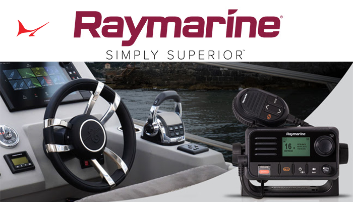
Whether youre an avid angler or a weekend cruiser, youll want the best charting available to find fish faster, and navigate your vessel safely. The Next Generation of Electronic Marine Charts for Axiom and Element Series Displays is now here.
Explore without limits and take command of surrounding waters with LightHouse Charts. Raymarine has created the most visually stunning, customizable charts with color-shaded depth contours, data-rich points of interest, and superior clarity. This new cartography will give you the ability to uncover every detail of the water around you.
LightHouse Charts -North America coverage area includes coastlines of the contiguous U.S., Alaska, Hawaii, thousands of inland freshwater bodies of water, and the Bahamas. It also includes The Great Lakes and related waterways, British Columbia, The St. Lawrence River, the coastlines of Newfoundland, Nova Scotia, Prince Edward Island and New Brunswick and is compatible with Raymarine Axiom, Axiom+, Axiom Pro, Axiom XL, and Raymarine Element.The most impressive ability LightHouse Charts brings is a new level of clarity to marine navigation.

Created from official hydrographic chart sources, LightHouse Charts offer maximum readability, intuitive navigation, and superior quality. Four distinct color palettes provide the best possible viewing conditions around the clock and chart symbol controls give you the power to customize the charts to your personal preference. Subscribers to LightHouse Charts Premium will be able to access continuous chart updates, an expanded points of interest library, and enhanced satellite imagery for a powerful, sophisticated take on marine navigation.
Key features include: Enhanced Chart Symbol Control that enables you to change the size of channel markers, points of interest, and other icons for complete control over chart details.
Easily toggle between Professional or Leisure Chart Style. Choose the information-rich professional S-52 government chart style or the LightHouse leisure chart style for your preferred view of key cartographic data.
Flexible Color Modes that deliver Day, Dusk, Dark, and Bright Sun color palettes to help your vision keep up with changing light conditions for clear, strain-free chart viewing. Fishing Intelligence preloaded. The industry most powerful fishing tools and data layers give you access to expert-verified Fishing Hot Spots® marked fishing areas and allow you to see detailed contour lines, vegetation and bottom composition data.

You can even create your own Raymarine LHC ENewspersonal contour maps with RealBathyâ„¢ sonar maps generator”even in uncharted or unexplored waterways.
And with a LightHouse Premium subscription, you can discover even more. The subscription service allows you to: Update your charts and download premium content using your mobile phone. Access Mapbox-powered high-resolution satellite imagery for a complete view of streets, shorelines, and shallows for informed decision making.
Quickly find local marinas, fuel stops, service stations, and more with an ever-expanding points of interest library from the best marine databases. Raymarine LightHouse Charts are available bundled with new Raymarine Element and Axiom models. LightHouse Charts are available online at raymarine.com or through Raymarine network of retailers and dealers.
Learn more at Raymarine.com
